Industry topics glossary
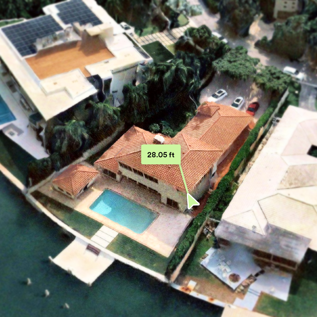
Roof Measurements | Nearmap
Understand the impact of roof measurements on insurance speed and accuracy. Nearmap provides aerial imagery, roof measuring software, and predictive analytics.
Learn more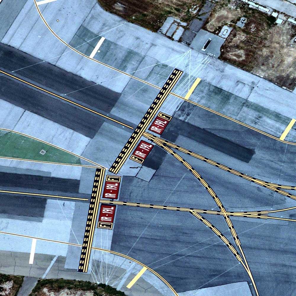
Satellite Imagery | Nearmap
Discover how Nearmap high-resolution aerial imagery delivers unmatched clarity, frequency, and precision — better than satellite imagery.
Learn more
Urban Planning | Nearmap
Learn how urban planning enables governments to design safer, smarter cities. Municipalities use high-resolution aerial imagery and spatial planning software.
Learn more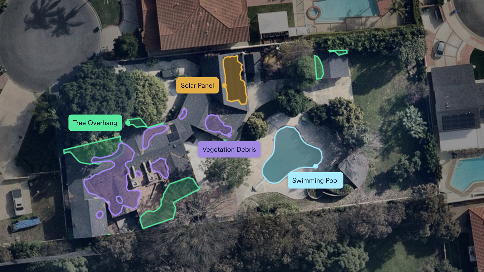
What Is InsurTech? Intelligence for the Modern P&C Insurer | Nearmap
InsurTech is changing P&C underwriting, claims and pricing. See how geospatial property intelligence from Nearmap powers it.
Learn more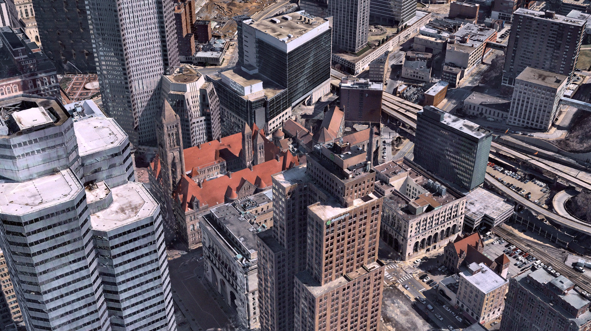
3D Imagery and Reality Models | Nearmap
Discover how Nearmap 3D reality model solutions deliver high-resolution, interactive maps for smarter planning, design, and decision-making.
Learn more3D Mapping | Nearmap
Explore advanced 3D mapping with Nearmap, from aerial surveys to terrain models and mapping for precise planning and real-world accuracy across industries.
Learn moreExplore extra resources
Across the globe, GIS professionals are using Nearmap to advance their understanding of the world. Learn more about how these geospatial experts in commercial, government, and insurance sectors are optimizing their efficiencies with our solution.Blog
Learn the tips and tricks of using Nearmap as well as top trends going on in the world of location intelligence.
Customer Stories
Go behind the scenes with GIS pioneers to see how they’re using Nearmap.
Webinars
Tune in for a lineup of industry experts highlighting how they’re changing our livable world
Newsroom
Get the latest Nearmap scoop by reading what publications are saying about our solution.